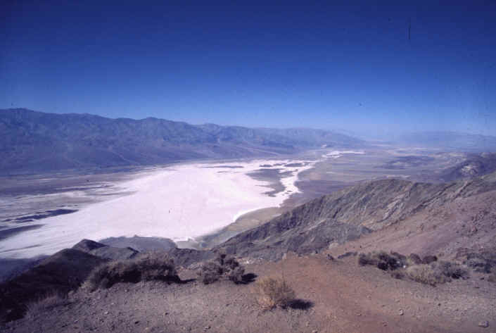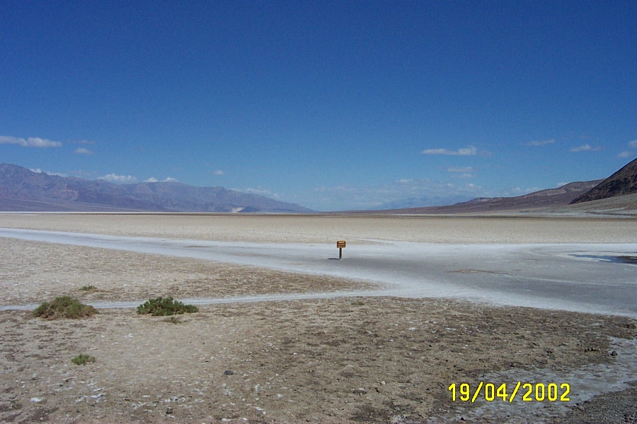


Aptly named stops along this byway will get the best of your curiosity. Dante’s View is arguably the most magnificent panorama in Death Valley. From this peak in the Black Mountains, but still a mere mile above sea level, you will see an expansive valley before you to the west, all the way to Telescope Peak. Below the peak is Badwater, the lowest point on the entire continent at 282 feet below sea level. The salt pans below are one of the most eerily fascinating places. The uninterrupted space of white dried salt crystals create erratic geometric patterns on the valley floor, which can be best captured in their entirety from Dante’s View.
Another curious name is Devil’s Golf Course. You will notice that the peculiar jagged peaks and crevices comprised almost completely of sodium chloride would hardly prove adequate topography for a golf course at all. The name, however, comes from a quote in a 1934 travel guidebook of the region, which said “only the devil could play golf on such a surface.”
You’ll find out why Artist Drive is named such as you come upon the view from the highway through the Black Mountains. As reds, golds, lavenders, and greens appear in the distance, you will see why this palette of colors fascinates new and frequent visitors alike. The colored landscape is actually chemically altered ash deposits from volcanoes that erupted millions of years ago. The drive will inspire wonder as you take in this painted landscape of color and shape.
Landscapes of parched salt flats, colored volcanic deposits, wind-blown sand dunes and expansive vistas of wind and rain marked rock crevices may not be your initial idea of a beautiful California vacation, but wait until you see it for yourself as you drive the Death Valley Scenic Byway.
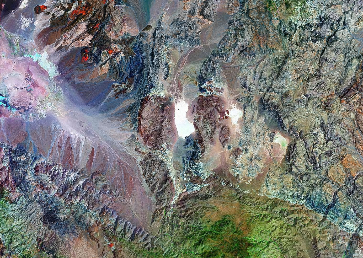
Death Valley National Park, the largest national park in the U.S., encompasses some 3.3 million acres of the Mojave Desert in eastern California. The land is diverse, with elevations ranging from -282 feet at Badwater (the lowest point in the Western Hemisphere) to 11,049 feet at the summit of Telescope Peak. In this arid land, great differences in elevation lead to great differences in topography and habitat. The overwhelming impression, however, is that this land is extremely hot and dry and unencumbered by the burden of dirt and vegetation. To the untutored eye, the entire area might even look barren, and while it is true that some areas appear lifeless, most areas support at least a few species of plants and animals.
Death Valley generally is warm, sunny, and dry throughout the year. Summers are unbelievably hot (temperatures commonly exceed 120 degrees) and dry, but the winters generally are mild, although with occasional bitter-cold storms. The spring and fall seasons generally are mild, but they can be windy. During summer, wear light comfortable clothes that provide sun protection (e.g., a broad brimmed hat, sunglasses, and sunscreen). Winter days might require a light jacket, but winter nights can be frigid.
Limited services (gas, food, and camping) are available at Furnace Creek, Stovepipe Wells, Scotty’s Castle, and Panamint Springs. Lodging is available at Furnace Creek, Stovepipe Wells, and Panamint Springs, and there are a number of campgrounds scattered throughout the central and northern portions of the park. Furnace Creek and Stovepipe Wells have small stores with basic camping supplies. This is wild and remote country, so plan ahead and bring what you need. Always carry extra drinking water in your vehicle.
Death Valley has a long history of human use. Native Americans lived here for centuries and left their marks in many places. Later, ill-prepared white settlers crossed the valley (thinking it was a shortcut to the Promised Land of California) and left behind a tale of determination and survival that still colors our view of Death Valley and American history. More recently, miners swarmed the area building roads and trails to extract valuable minerals. Their legacy provides us with many great hiking opportunities (i.e., old roads and interesting destinations). The most famous miners probably were associated with the 20 Mule Team Borax Works, entering legend through television during the 1960s. The Furnace Creek Visitor Center has nice exhibits on human history in the park.
Death Valley is an arid land subject to extremes of temperature. During summer, the floor of Death Valley is extremely hot, with temperatures typically exceeding 120 degrees. During hot weather, be very careful and carry lots of water. Don’t count on the air conditioner in your vehicle to keep you cool. During winter, the valley and surrounding mountains can be bitter cold, especially if the wind is blowing. Plan ahead a dress accordingly. Although Death Valley is extremely arid, heavy rains and flash floods occur regularly. Stay out of washes and canyons when flash floods threaten. Don’t camp in washes or narrow canyons. The summer heat combined with low humidities create the potential for quick and extreme dehydration–drink lots of water or sports drinks even if you think you don’t need it.
The historical mining activity left behind many interesting old townsites, buildings, artifacts, and mines that are fun to explore. Beware, however, that wooden floors can give away, roofs can collapse, and it is never safe to enter old mines; apply the “look but don’t touch” rule.
If your vehicle breaks down and you are stuck out in the desert, stay with your vehicle. Your vehicle has lots of things that you can use to help survive a night out in the desert, and it is a lot easier for search teams to find a vehicle in the vast desert than it is to find a person. The park has a patrol plane, and it is a lot easier for the pilot to see your vehicle than it is to see you. Some years ago, I was out hiking just after dawn in the south end of the park. The patrol plane came over from the other side of the valley and flew low over my truck to check me out, but he didn’t seem to notice me standing on a ridge a short distance away.
Be sure to review the standard warnings about hiking in the desert.